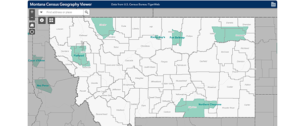
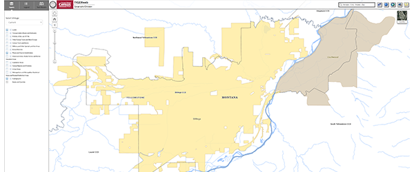
Census Geography Program
The Census Geography Program maintains administrative and statistical boundaries for use in U.S. Census Bureau census and surveys. They provide TIGER/Line shapefiles, geodatabases and REST services for mapping, as well as an interactive boundary viewer on their TIGERweb site.
City and county governments and the Montana State Library make updates to census geographies each year through the Boundary and Annexation Survey.